Bells Hill Road
Introduction
The photograph on this page of Bells Hill Road by terry joyce as part of the Geograph project.
The Geograph project started in 2005 with the aim of publishing, organising and preserving representative images for every square kilometre of Great Britain, Ireland and the Isle of Man.

There are currently over 7.5m images from over 14,400 individuals and you can help contribute to the project by visiting https://www.geograph.org.uk
Bells Hill Road
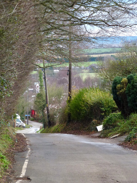
Image: © terry joyce Taken: 19 Jan 2012
This road runs from the slip road off the A13 at Vange to join Nethermayne (A176) near Basildon Hospital. Before Nethermayne (A176) was built sometime in the 1960's this was the main road into Basildon from Fobbing.
Images are licensed for reuse under creativecommons.org/licenses/by-sa/2.0
Image Location
Latitude
51.554165
Longitude
0.461115