Eastern boundary of Cowbridge, Vale of Glamorgan
Introduction
The photograph on this page of Eastern boundary of Cowbridge, Vale of Glamorgan by Jaggery as part of the Geograph project.
The Geograph project started in 2005 with the aim of publishing, organising and preserving representative images for every square kilometre of Great Britain, Ireland and the Isle of Man.

There are currently over 7.5m images from over 14,400 individuals and you can help contribute to the project by visiting https://www.geograph.org.uk
Eastern boundary of Cowbridge, Vale of Glamorgan
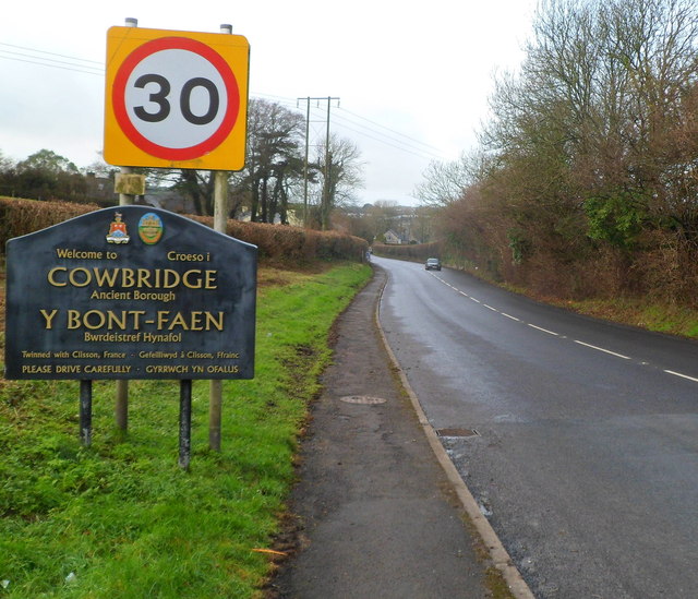
Image: © Jaggery Taken: 19 Jan 2012
The A4222 from the east enters the ancient borough of Cowbridge. The Welsh name for the town is Y Bont-faen, literally The Stone Bridge. The sign shows that Cowbridge is twinned with Clisson, France.
Images are licensed for reuse under creativecommons.org/licenses/by-sa/2.0
Image Location
Latitude
51.45795
Longitude
-3.437837