Village green at Kneesall
Introduction
The photograph on this page of Village green at Kneesall by Trevor Rickard as part of the Geograph project.
The Geograph project started in 2005 with the aim of publishing, organising and preserving representative images for every square kilometre of Great Britain, Ireland and the Isle of Man.

There are currently over 7.5m images from over 14,400 individuals and you can help contribute to the project by visiting https://www.geograph.org.uk
Village green at Kneesall
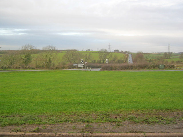
Image: © Trevor Rickard Taken: 24 Dec 2011
Looking west across a simple triangle of grass to the A616 heading towards Ollerton.
Images are licensed for reuse under creativecommons.org/licenses/by-sa/2.0
Image Location
Latitude
53.171638
Longitude
-0.950814