Lower Chelmscote Farm [2]
Introduction
The photograph on this page of Lower Chelmscote Farm [2] by Michael Dibb as part of the Geograph project.
The Geograph project started in 2005 with the aim of publishing, organising and preserving representative images for every square kilometre of Great Britain, Ireland and the Isle of Man.

There are currently over 7.5m images from over 14,400 individuals and you can help contribute to the project by visiting https://www.geograph.org.uk
Lower Chelmscote Farm [2]
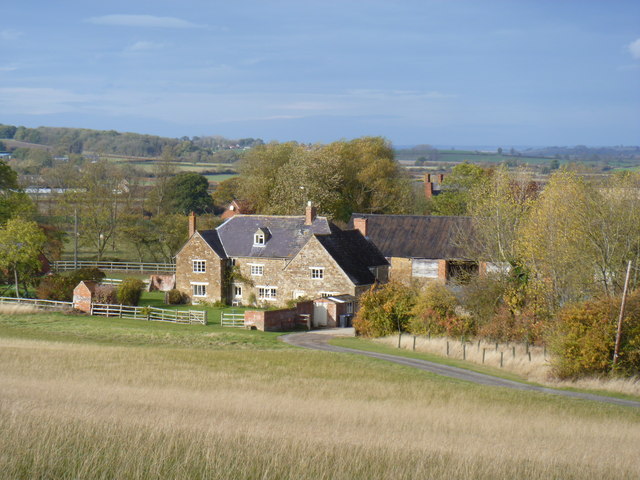
Image: © Michael Dibb Taken: 29 Oct 2011
The farm is seen from the footpath. The farmhouse is listed grade II. Further details are at http://www.britishlistedbuildings.co.uk/en-305783-lower-chelmscote-farmhouse-brailes
Images are licensed for reuse under creativecommons.org/licenses/by-sa/2.0
Image Location


Leaflet Map data © OpenStreetMap
Latitude
52.080314
Longitude
-1.538255