Cycleway at the NE edge of Trethomas
Introduction
The photograph on this page of Cycleway at the NE edge of Trethomas by Jaggery as part of the Geograph project.
The Geograph project started in 2005 with the aim of publishing, organising and preserving representative images for every square kilometre of Great Britain, Ireland and the Isle of Man.

There are currently over 7.5m images from over 14,400 individuals and you can help contribute to the project by visiting https://www.geograph.org.uk
Cycleway at the NE edge of Trethomas
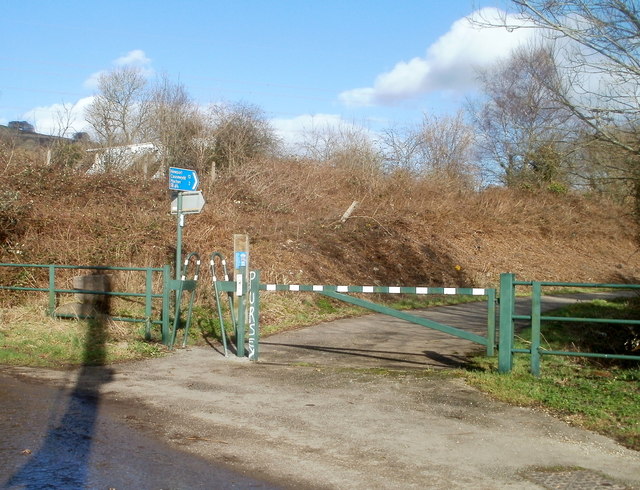
Image: © Jaggery Taken: 26 Feb 2011
National Cycle Network Route 4 heads east away from Upper Glyn Gwyn Street, Trethomas. Distances shown on the sign are 2 (miles) to Machen and 12 to Newport.
Images are licensed for reuse under creativecommons.org/licenses/by-sa/2.0
Image Location
Latitude
51.594814
Longitude
-3.179403