A wind-damaged sign on the A7
Introduction
The photograph on this page of A wind-damaged sign on the A7 by Walter Baxter as part of the Geograph project.
The Geograph project started in 2005 with the aim of publishing, organising and preserving representative images for every square kilometre of Great Britain, Ireland and the Isle of Man.

There are currently over 7.5m images from over 14,400 individuals and you can help contribute to the project by visiting https://www.geograph.org.uk
A wind-damaged sign on the A7
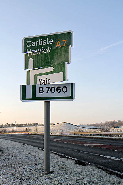
Image: © Walter Baxter Taken: 16 Jan 2012
This sign between Galashiels and Selkirk has been twisted round after recent gale force winds.
Images are licensed for reuse under creativecommons.org/licenses/by-sa/2.0
Image Location
Latitude
55.585522
Longitude
-2.81143