King Street, Acton
Introduction
The photograph on this page of King Street, Acton by Alan Murray-Rust as part of the Geograph project.
The Geograph project started in 2005 with the aim of publishing, organising and preserving representative images for every square kilometre of Great Britain, Ireland and the Isle of Man.

There are currently over 7.5m images from over 14,400 individuals and you can help contribute to the project by visiting https://www.geograph.org.uk
King Street, Acton
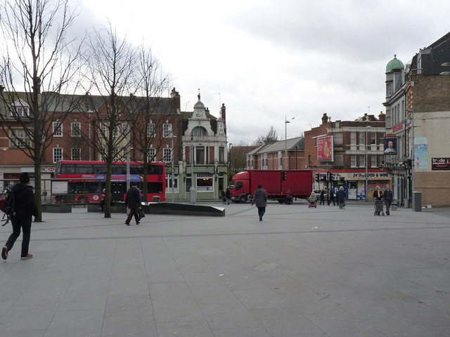
Image: © Alan Murray-Rust Taken: 10 Jan 2012
Looking towards High Street. King Street ran down the right hand side, with open space in front of the church being created in the latter part of the 19th century following clearance of older premises.
Images are licensed for reuse under creativecommons.org/licenses/by-sa/2.0
Image Location
Latitude
51.507643
Longitude
-0.272594