Field next to Watford Gap Lane
Introduction
The photograph on this page of Field next to Watford Gap Lane by Antony Dixon as part of the Geograph project.
The Geograph project started in 2005 with the aim of publishing, organising and preserving representative images for every square kilometre of Great Britain, Ireland and the Isle of Man.

There are currently over 7.5m images from over 14,400 individuals and you can help contribute to the project by visiting https://www.geograph.org.uk
Field next to Watford Gap Lane
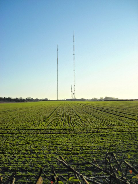
Image: © Antony Dixon Taken: 14 Jan 2012
With masts, which are in the next square.
Images are licensed for reuse under creativecommons.org/licenses/by-sa/2.0
Image Location
Latitude
52.606753
Longitude
-1.831913