Barton Common
Introduction
The photograph on this page of Barton Common by mike smith as part of the Geograph project.
The Geograph project started in 2005 with the aim of publishing, organising and preserving representative images for every square kilometre of Great Britain, Ireland and the Isle of Man.

There are currently over 7.5m images from over 14,400 individuals and you can help contribute to the project by visiting https://www.geograph.org.uk
Barton Common
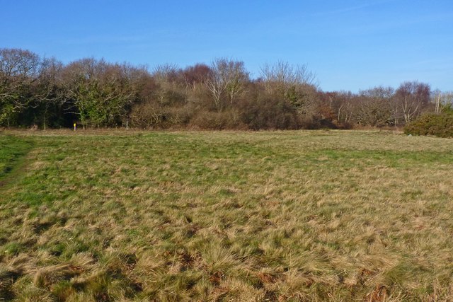
Image: © mike smith Taken: 16 Jan 2012
This is the north-east corner of the common. Barton Common was purchased by the Borough of Lymington in 1935 in order to retain it as an open space for air and recreation. It is currently managed by New Forest District Council.
Images are licensed for reuse under creativecommons.org/licenses/by-sa/2.0
Image Location
Latitude
50.739666
Longitude
-1.643815