Toplocks Estate
Introduction
The photograph on this page of Toplocks Estate by Alan Murray-Rust as part of the Geograph project.
The Geograph project started in 2005 with the aim of publishing, organising and preserving representative images for every square kilometre of Great Britain, Ireland and the Isle of Man.

There are currently over 7.5m images from over 14,400 individuals and you can help contribute to the project by visiting https://www.geograph.org.uk
Toplocks Estate
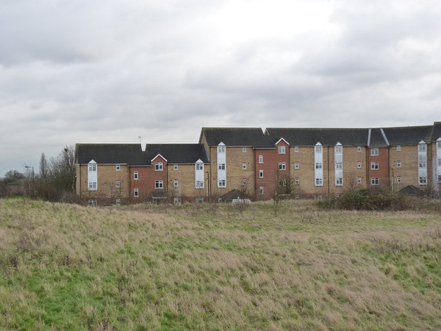
Image: © Alan Murray-Rust Taken: 9 Jan 2012
The rear of housing at the end of McNair Road. This was originally industrial land.
Images are licensed for reuse under creativecommons.org/licenses/by-sa/2.0
Image Location
Latitude
51.503494
Longitude
-0.365831