Inkerman Way, Knaphill
Introduction
The photograph on this page of Inkerman Way, Knaphill by Alan Hunt as part of the Geograph project.
The Geograph project started in 2005 with the aim of publishing, organising and preserving representative images for every square kilometre of Great Britain, Ireland and the Isle of Man.

There are currently over 7.5m images from over 14,400 individuals and you can help contribute to the project by visiting https://www.geograph.org.uk
Inkerman Way, Knaphill
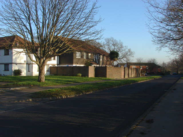
Image: © Alan Hunt Taken: 14 Jan 2012
A view down Inkerman Way which runs from Raglan Road alongside the housing developments built in the late 1970s on the site of the Inkerman Barracks. Many of the roads names have a Crimean War connection. The playing fields of the Winston Churchill school are to the right.
Images are licensed for reuse under creativecommons.org/licenses/by-sa/2.0
Image Location
Latitude
51.3144
Longitude
-0.603434