High Tide Mark at Barassie
Introduction
The photograph on this page of High Tide Mark at Barassie by Mary and Angus Hogg as part of the Geograph project.
The Geograph project started in 2005 with the aim of publishing, organising and preserving representative images for every square kilometre of Great Britain, Ireland and the Isle of Man.

There are currently over 7.5m images from over 14,400 individuals and you can help contribute to the project by visiting https://www.geograph.org.uk
High Tide Mark at Barassie
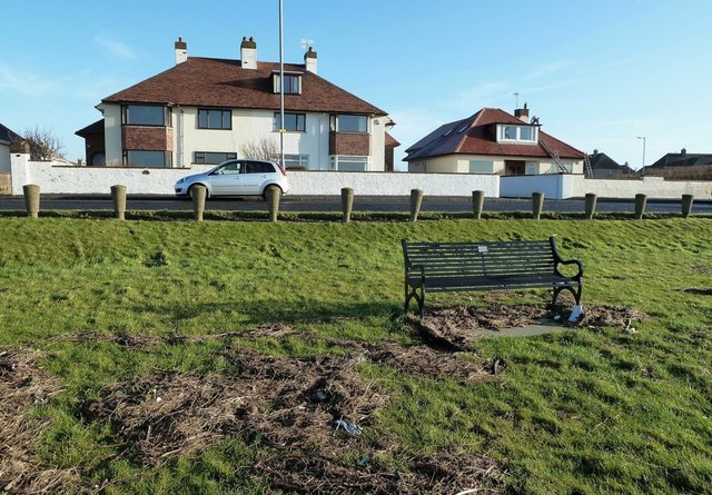
Image: © Mary and Angus Hogg Taken: 13 Jan 2012
Viewed from the Ayrshire Coastal Path, the debris shows how far the tide came in at Barassie during the December 2010 storms. It must have been quite a sight from these shore-front houses.
Images are licensed for reuse under creativecommons.org/licenses/by-sa/2.0
Image Location
Latitude
55.560747
Longitude
-4.657144