Marr Meadows
Introduction
The photograph on this page of Marr Meadows by Mary and Angus Hogg as part of the Geograph project.
The Geograph project started in 2005 with the aim of publishing, organising and preserving representative images for every square kilometre of Great Britain, Ireland and the Isle of Man.

There are currently over 7.5m images from over 14,400 individuals and you can help contribute to the project by visiting https://www.geograph.org.uk
Marr Meadows
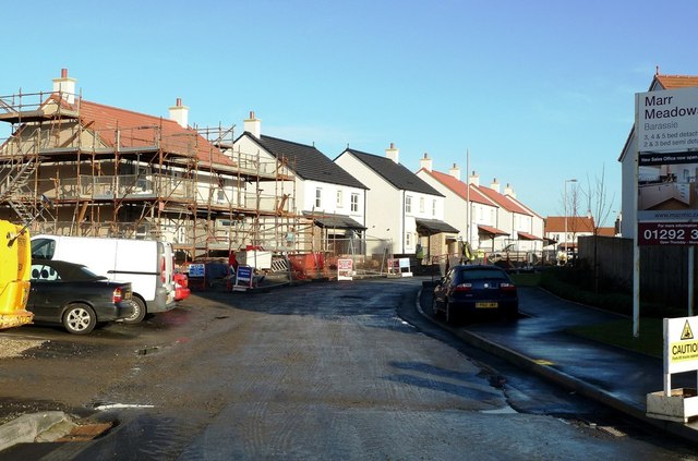
Image: © Mary and Angus Hogg Taken: 13 Jan 2012
New building work under way at Barassie's Marr Meadows. The site is accessed via Coxwain Drive, leading off from Deveron Road.
Images are licensed for reuse under creativecommons.org/licenses/by-sa/2.0
Image Location
Latitude
55.560248
Longitude
-4.642837