Thatched house, Wardy Hill
Introduction
The photograph on this page of Thatched house, Wardy Hill by Hugh Venables as part of the Geograph project.
The Geograph project started in 2005 with the aim of publishing, organising and preserving representative images for every square kilometre of Great Britain, Ireland and the Isle of Man.

There are currently over 7.5m images from over 14,400 individuals and you can help contribute to the project by visiting https://www.geograph.org.uk
Thatched house, Wardy Hill
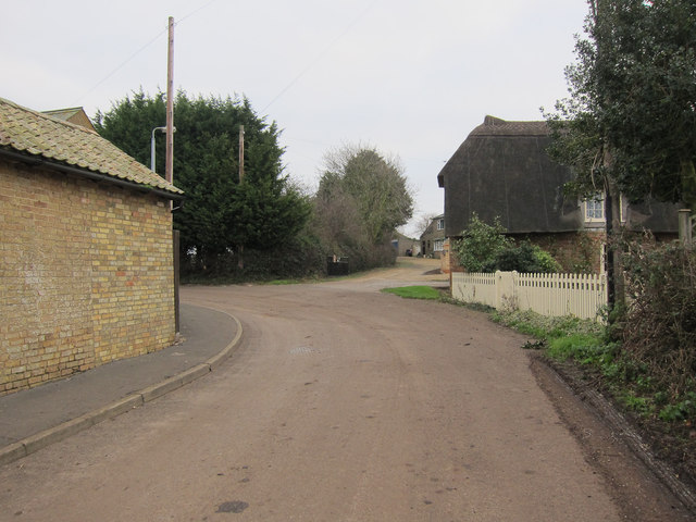
Image: © Hugh Venables Taken: 15 Jan 2012
The footpath follows the track past Vine Leigh Farm. All the paths in this area were well signed.
Images are licensed for reuse under creativecommons.org/licenses/by-sa/2.0
Image Location
Latitude
52.416416
Longitude
0.160621