Berwick-upon-Tweed: Hide Hill from Quay Walls
Introduction
The photograph on this page of Berwick-upon-Tweed: Hide Hill from Quay Walls by Chris Downer as part of the Geograph project.
The Geograph project started in 2005 with the aim of publishing, organising and preserving representative images for every square kilometre of Great Britain, Ireland and the Isle of Man.

There are currently over 7.5m images from over 14,400 individuals and you can help contribute to the project by visiting https://www.geograph.org.uk
Berwick-upon-Tweed: Hide Hill from Quay Walls
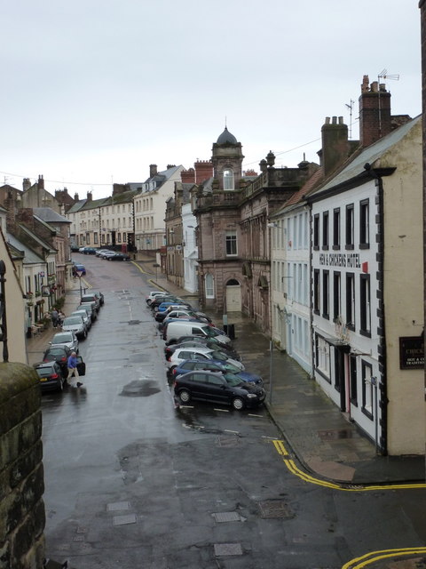
Image: © Chris Downer Taken: 7 Aug 2011
Looking up this street as it heads towards the heart of town, from the steps leading down from Quay Walls.
Images are licensed for reuse under creativecommons.org/licenses/by-sa/2.0
Image Location
Latitude
55.767732
Longitude
-2.003162