Lock's Lane
Introduction
The photograph on this page of Lock's Lane by Ruth Riddle as part of the Geograph project.
The Geograph project started in 2005 with the aim of publishing, organising and preserving representative images for every square kilometre of Great Britain, Ireland and the Isle of Man.

There are currently over 7.5m images from over 14,400 individuals and you can help contribute to the project by visiting https://www.geograph.org.uk
Lock's Lane
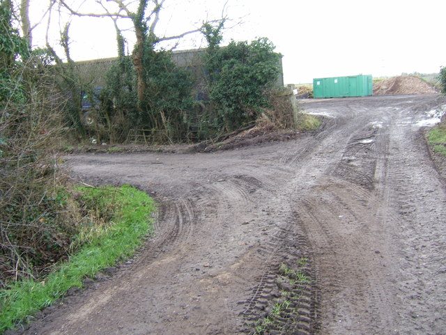
Image: © Ruth Riddle Taken: 14 Jan 2012
Lock's Lane, a wide bridleway, makes a sharp turn to the south-west in this picture, skirting round a storage shed. The inverted "W" shape of the track as it diverts round the building, of which this turn is the north-eastern "peak", is easy to spot on the map as it crosses a 1km square gridline.
Images are licensed for reuse under creativecommons.org/licenses/by-sa/2.0
Image Location
Latitude
51.554019
Longitude
-2.49539