Brock Bowling Club
Introduction
The photograph on this page of Brock Bowling Club by Lairich Rig as part of the Geograph project.
The Geograph project started in 2005 with the aim of publishing, organising and preserving representative images for every square kilometre of Great Britain, Ireland and the Isle of Man.

There are currently over 7.5m images from over 14,400 individuals and you can help contribute to the project by visiting https://www.geograph.org.uk
Brock Bowling Club
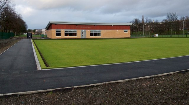
Image: © Lairich Rig Taken: 1 Jan 2012
When this picture was taken, the new club house and green shown here appeared to be almost complete (construction began in the latter half of 2011), but the club had not yet relocated from its previous site (Image, beside Dumbarton Academy on Image).
Images are licensed for reuse under creativecommons.org/licenses/by-sa/2.0
Image Location
Latitude
55.948196
Longitude
-4.566222