Former railway bridge, Ty Canol Lane, Machen
Introduction
The photograph on this page of Former railway bridge, Ty Canol Lane, Machen by Jaggery as part of the Geograph project.
The Geograph project started in 2005 with the aim of publishing, organising and preserving representative images for every square kilometre of Great Britain, Ireland and the Isle of Man.

There are currently over 7.5m images from over 14,400 individuals and you can help contribute to the project by visiting https://www.geograph.org.uk
Former railway bridge, Ty Canol Lane, Machen
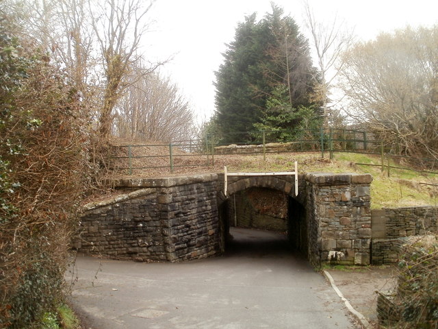
Image: © Jaggery Taken: 26 Feb 2011
The low bridge is at the SE end of Ty Canol Lane. At the right edge of the view is the turning for National Cycle Network route 4. http://www.geograph.org.uk/photo/2763102 No headroom is specified for the bridge. My guess is that the reason for the absence of a sign is that the road behind the camera is a dead end, so vehicles travelling in this direction would have previously passed under the second bridge on the far side, where the headroom is 7" 3' (2.2m). http://www.geograph.org.uk/photo/2763071
Images are licensed for reuse under creativecommons.org/licenses/by-sa/2.0
Image Location
Latitude
51.596955
Longitude
-3.144808