Path by the bridge, Sidmouth
Introduction
The photograph on this page of Path by the bridge, Sidmouth by Derek Harper as part of the Geograph project.
The Geograph project started in 2005 with the aim of publishing, organising and preserving representative images for every square kilometre of Great Britain, Ireland and the Isle of Man.

There are currently over 7.5m images from over 14,400 individuals and you can help contribute to the project by visiting https://www.geograph.org.uk
Path by the bridge, Sidmouth
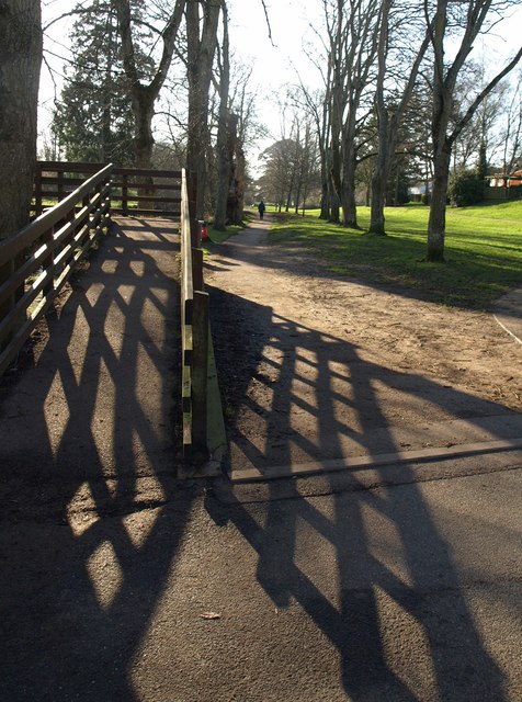
Image: © Derek Harper Taken: 11 Jan 2012
Sidmouth Footpath 10 runs alongside the right bank of the River Sid; Sidmouth Footpath 52a crosses the bridge.
Images are licensed for reuse under creativecommons.org/licenses/by-sa/2.0
Image Location
Latitude
50.688979
Longitude
-3.234257