The Woodlands, Swanley
Introduction
The photograph on this page of The Woodlands, Swanley by Marathon as part of the Geograph project.
The Geograph project started in 2005 with the aim of publishing, organising and preserving representative images for every square kilometre of Great Britain, Ireland and the Isle of Man.

There are currently over 7.5m images from over 14,400 individuals and you can help contribute to the project by visiting https://www.geograph.org.uk
The Woodlands, Swanley
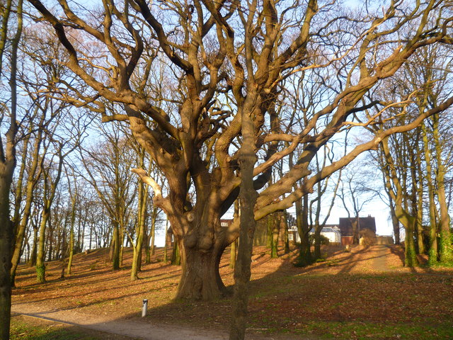
Image: © Marathon Taken: 13 Jan 2012
The Woodlands is a small piece of relict woodland between London Road and Hilda May Avenue. Most of the trees are young but this fine old oak tree stands out. At the top of the slope on the right is a building appropriately enough called 'The Woodlands' which is a wedding and conference venue.
Images are licensed for reuse under creativecommons.org/licenses/by-sa/2.0
Image Location


Leaflet Map data © OpenStreetMap
Latitude
51.399387
Longitude
0.169998