A538 approaching Mottram St Andrew parish boundary
Introduction
The photograph on this page of A538 approaching Mottram St Andrew parish boundary by Peter Turner as part of the Geograph project.
The Geograph project started in 2005 with the aim of publishing, organising and preserving representative images for every square kilometre of Great Britain, Ireland and the Isle of Man.

There are currently over 7.5m images from over 14,400 individuals and you can help contribute to the project by visiting https://www.geograph.org.uk
A538 approaching Mottram St Andrew parish boundary
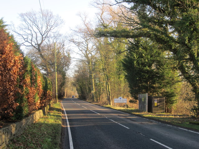
Image: © Peter Turner Taken: 13 Jan 2012
Images are licensed for reuse under creativecommons.org/licenses/by-sa/2.0
Image Location
Latitude
53.316138
Longitude
-2.197345