Black Bridge, Ty Mawr Road, Llandaff
Introduction
The photograph on this page of Black Bridge, Ty Mawr Road, Llandaff by Guy Butler-Madden as part of the Geograph project.
The Geograph project started in 2005 with the aim of publishing, organising and preserving representative images for every square kilometre of Great Britain, Ireland and the Isle of Man.

There are currently over 7.5m images from over 14,400 individuals and you can help contribute to the project by visiting https://www.geograph.org.uk
Black Bridge, Ty Mawr Road, Llandaff
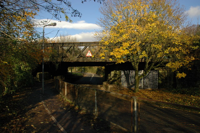
Image: © Guy Butler-Madden Taken: 6 Dec 2005
The Glamorganshire Canal passed under the central arch where the lowered road is today. During the life of the canal the Ty Mawr Road passed under the blocked off right hand arch.
Images are licensed for reuse under creativecommons.org/licenses/by-sa/2.0
Image Location
Latitude
51.509103
Longitude
-3.233674