Mill Street, Coleraine (1)
Introduction
The photograph on this page of Mill Street, Coleraine (1) by Albert Bridge as part of the Geograph project.
The Geograph project started in 2005 with the aim of publishing, organising and preserving representative images for every square kilometre of Great Britain, Ireland and the Isle of Man.

There are currently over 7.5m images from over 14,400 individuals and you can help contribute to the project by visiting https://www.geograph.org.uk
Mill Street, Coleraine (1)
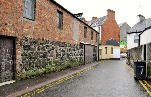
Image: © Albert Bridge Taken: 11 Jan 2012
A narrow street running from the Railway Road to Brook Street and the Long Commons (background). Temporarily closed to through traffic during major work on the Lodge Burn Image Image shows the hoist (middle top).
Images are licensed for reuse under creativecommons.org/licenses/by-sa/2.0
Image Location
Latitude
55.132226
Longitude
-6.666558