Filling station at Scots Gap
Introduction
The photograph on this page of Filling station at Scots Gap by Oliver Dixon as part of the Geograph project.
The Geograph project started in 2005 with the aim of publishing, organising and preserving representative images for every square kilometre of Great Britain, Ireland and the Isle of Man.

There are currently over 7.5m images from over 14,400 individuals and you can help contribute to the project by visiting https://www.geograph.org.uk
Filling station at Scots Gap
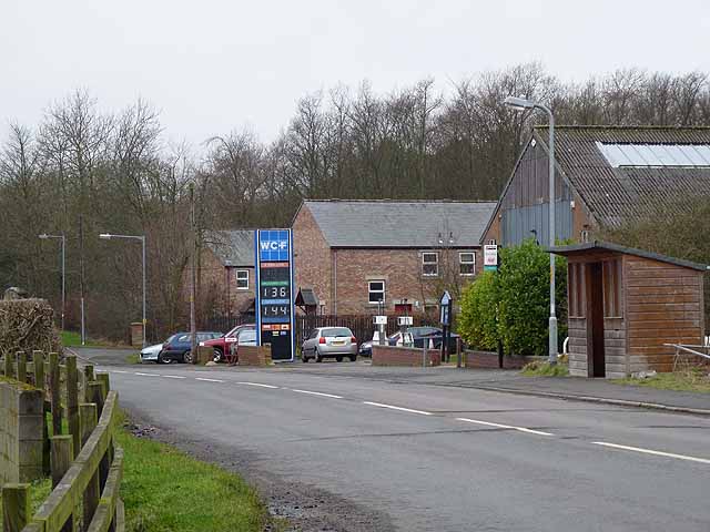
Image: © Oliver Dixon Taken: 10 Jan 2012
An important cattle mart and small village has grown up at Scots Gap on the site of a disused railway station which was a junction between the "Wannie Line" (Morpeth to Reedsmouth) and a branch line up to Rothbury.
Images are licensed for reuse under creativecommons.org/licenses/by-sa/2.0
Image Location
Latitude
55.172701
Longitude
-1.939684