Well Road, Rushenden
Introduction
The photograph on this page of Well Road, Rushenden by John Baker as part of the Geograph project.
The Geograph project started in 2005 with the aim of publishing, organising and preserving representative images for every square kilometre of Great Britain, Ireland and the Isle of Man.

There are currently over 7.5m images from over 14,400 individuals and you can help contribute to the project by visiting https://www.geograph.org.uk
Well Road, Rushenden
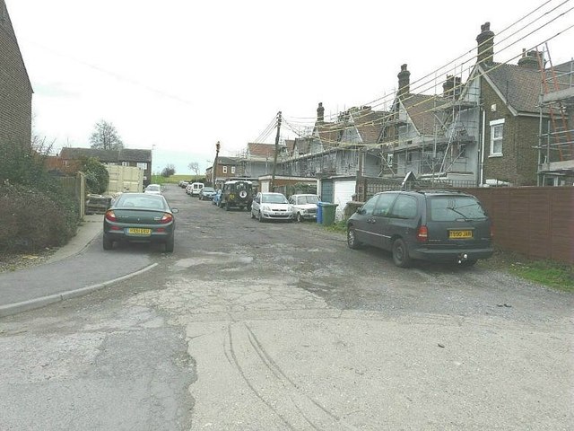
Image: © John Baker Taken: 8 Jan 2012
As seen from its junction with First Avenue. The backs of the houses are those in Alsager Avenue. The scaffolding may have been erected to enable cavity wall insulation as this was being installed in most of the houses in First Avenue.
Images are licensed for reuse under creativecommons.org/licenses/by-sa/2.0
Image Location
Latitude
51.410182
Longitude
0.740566