Henllys Way reaches Henllys, Cwmbran
Introduction
The photograph on this page of Henllys Way reaches Henllys, Cwmbran by Jaggery as part of the Geograph project.
The Geograph project started in 2005 with the aim of publishing, organising and preserving representative images for every square kilometre of Great Britain, Ireland and the Isle of Man.

There are currently over 7.5m images from over 14,400 individuals and you can help contribute to the project by visiting https://www.geograph.org.uk
Henllys Way reaches Henllys, Cwmbran
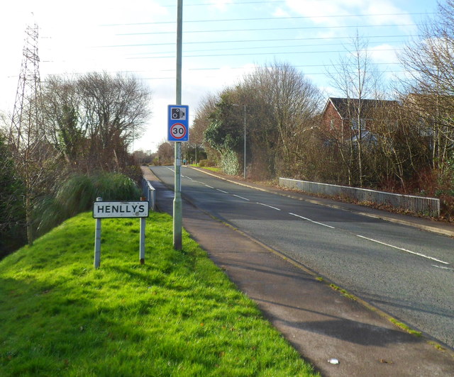
Image: © Jaggery Taken: 7 Jan 2012
The Cwmbran district of Henllys contains an older section named Henllys Village or The Village, and a larger area of houses built since about 1990. The roadside railings are along the bridge carrying Henllys Way over a brook, Nant-y-milwr.
Images are licensed for reuse under creativecommons.org/licenses/by-sa/2.0
Image Location
Latitude
51.639134
Longitude
-3.05772