Hothfield Common - 1981
Introduction
The photograph on this page of Hothfield Common - 1981 by Helmut Zozmann as part of the Geograph project.
The Geograph project started in 2005 with the aim of publishing, organising and preserving representative images for every square kilometre of Great Britain, Ireland and the Isle of Man.

There are currently over 7.5m images from over 14,400 individuals and you can help contribute to the project by visiting https://www.geograph.org.uk
Hothfield Common - 1981
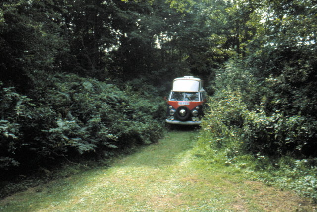
Image: © Helmut Zozmann Taken: Unknown
Hothfield is a village and civil parish in the Ashford District of Kent, England and is located north-west of Ashford town. The village is located to the south of the A20 road. To the north west is Hothfield Common, 58 hectares (143 acres) of heathland and lowland valley bogs: a nature reserve managed by Kent Wildlife Trust, with children's playground adjacent.
Images are licensed for reuse under creativecommons.org/licenses/by-sa/2.0
Image Location
Latitude
51.177589
Longitude
0.820326