River Thames, Thames Ditton
Introduction
The photograph on this page of River Thames, Thames Ditton by Hugh Venables as part of the Geograph project.
The Geograph project started in 2005 with the aim of publishing, organising and preserving representative images for every square kilometre of Great Britain, Ireland and the Isle of Man.

There are currently over 7.5m images from over 14,400 individuals and you can help contribute to the project by visiting https://www.geograph.org.uk
River Thames, Thames Ditton
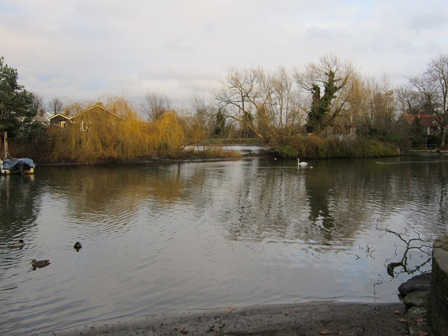
Image: © Hugh Venables Taken: 26 Dec 2011
The gap between Thames Ditton Island on the left and Boyle Farm Island has silted up. In the mid 90s it was possible to row a gig through the gap but you can now walk it and keep your feet dry.
Images are licensed for reuse under creativecommons.org/licenses/by-sa/2.0
Image Location
Latitude
51.392934
Longitude
-0.33082