A bridge on Gloster Road as seen from downstream
Introduction
The photograph on this page of A bridge on Gloster Road as seen from downstream by Roger A Smith as part of the Geograph project.
The Geograph project started in 2005 with the aim of publishing, organising and preserving representative images for every square kilometre of Great Britain, Ireland and the Isle of Man.

There are currently over 7.5m images from over 14,400 individuals and you can help contribute to the project by visiting https://www.geograph.org.uk
A bridge on Gloster Road as seen from downstream
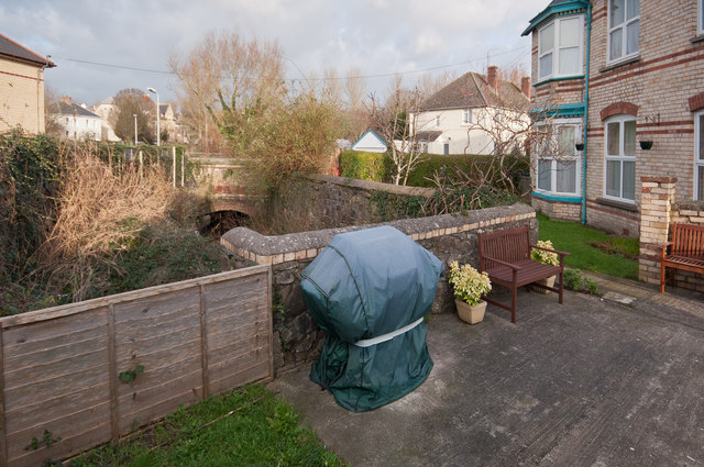
Image: © Roger A Smith Taken: 7 Jan 2012
The bridge in the middle distance is on Gloster Road. The Wall in the foreground is on private property where the stream runs underneath for a short distance.
Images are licensed for reuse under creativecommons.org/licenses/by-sa/2.0
Image Location


Leaflet Map data © OpenStreetMap
Latitude
51.074704
Longitude
-4.051458