Flood Protection
Introduction
The photograph on this page of Flood Protection by terry joyce as part of the Geograph project.
The Geograph project started in 2005 with the aim of publishing, organising and preserving representative images for every square kilometre of Great Britain, Ireland and the Isle of Man.

There are currently over 7.5m images from over 14,400 individuals and you can help contribute to the project by visiting https://www.geograph.org.uk
Flood Protection
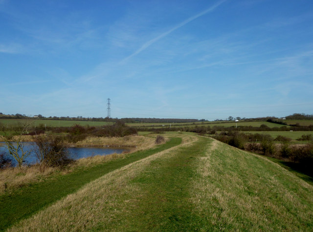
Image: © terry joyce Taken: 6 Jan 2012
This embankment is part of the flood protection for South Woodham Ferrers. The lake on the left is in Saltcoats Park. The vehicles in the distance are on the B1012 Lower Burnham Road.
Images are licensed for reuse under creativecommons.org/licenses/by-sa/2.0
Image Location
Latitude
51.647838
Longitude
0.628675