Talley Abbey ruins and Talley village
Introduction
The photograph on this page of Talley Abbey ruins and Talley village by Jeremy Bolwell as part of the Geograph project.
The Geograph project started in 2005 with the aim of publishing, organising and preserving representative images for every square kilometre of Great Britain, Ireland and the Isle of Man.

There are currently over 7.5m images from over 14,400 individuals and you can help contribute to the project by visiting https://www.geograph.org.uk
Talley Abbey ruins and Talley village
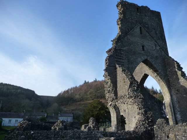
Image: © Jeremy Bolwell Taken: 7 Jan 2012
When the land was selected for the abbey they chose a spot very amenable for the monastic lifestyle with a blend of beauty and asceticism.
Images are licensed for reuse under creativecommons.org/licenses/by-sa/2.0
Image Location


Leaflet Map data © OpenStreetMap
Latitude
51.976437
Longitude
-3.991938