Fields next to the Old Mill Equestrian Centre
Introduction
The photograph on this page of Fields next to the Old Mill Equestrian Centre by Marathon as part of the Geograph project.
The Geograph project started in 2005 with the aim of publishing, organising and preserving representative images for every square kilometre of Great Britain, Ireland and the Isle of Man.

There are currently over 7.5m images from over 14,400 individuals and you can help contribute to the project by visiting https://www.geograph.org.uk
Fields next to the Old Mill Equestrian Centre
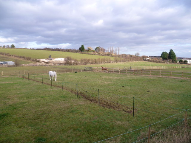
Image: © Marathon Taken: 7 Jan 2012
There have been a few recent changes in this view from Clement Street next to the Old Mill Equestrian Centre. The fencing this side of where the white horse is standing is new and the field where the digger is removing the chalk was wooded.
Images are licensed for reuse under creativecommons.org/licenses/by-sa/2.0
Image Location
Latitude
51.41437
Longitude
0.210401