Green Lane End
Introduction
The photograph on this page of Green Lane End by Christine Johnstone as part of the Geograph project.
The Geograph project started in 2005 with the aim of publishing, organising and preserving representative images for every square kilometre of Great Britain, Ireland and the Isle of Man.

There are currently over 7.5m images from over 14,400 individuals and you can help contribute to the project by visiting https://www.geograph.org.uk
Green Lane End
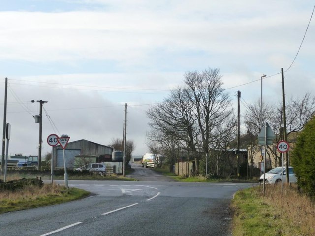
Image: © Christine Johnstone Taken: 6 Jan 2012
Where Green Lane and Denby Lane meet the Penistone Road. Also the 293 metre spot height.
Images are licensed for reuse under creativecommons.org/licenses/by-sa/2.0
Image Location
Latitude
53.559642
Longitude
-1.679919