Saron Street, Treforest
Introduction
The photograph on this page of Saron Street, Treforest by Jaggery as part of the Geograph project.
The Geograph project started in 2005 with the aim of publishing, organising and preserving representative images for every square kilometre of Great Britain, Ireland and the Isle of Man.

There are currently over 7.5m images from over 14,400 individuals and you can help contribute to the project by visiting https://www.geograph.org.uk
Saron Street, Treforest
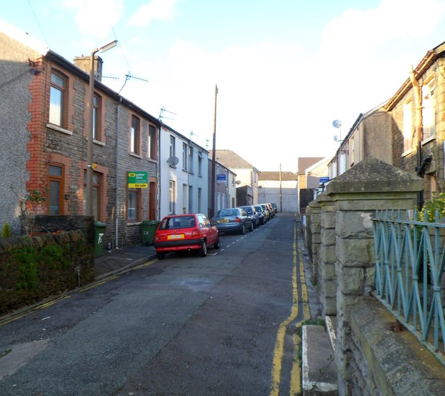
Image: © Jaggery Taken: 9 Dec 2011
Looking towards Bridge Street from the edge of Saron Welsh Calvinistic Methodist Chapel.http://www.geograph.org.uk/photo/2753581
Images are licensed for reuse under creativecommons.org/licenses/by-sa/2.0
Image Location
Latitude
51.593242
Longitude
-3.326613