Auld cley road
Introduction
The photograph on this page of Auld cley road by carrickstone emily as part of the Geograph project.
The Geograph project started in 2005 with the aim of publishing, organising and preserving representative images for every square kilometre of Great Britain, Ireland and the Isle of Man.

There are currently over 7.5m images from over 14,400 individuals and you can help contribute to the project by visiting https://www.geograph.org.uk
Auld cley road
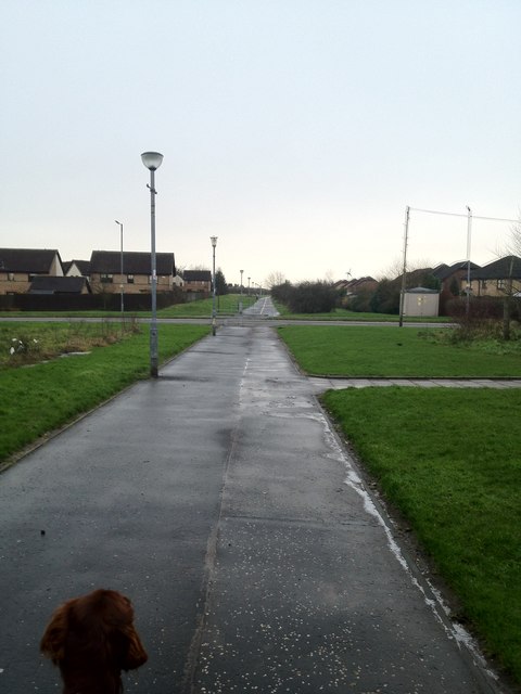
Image: © carrickstone emily Taken: 6 Jan 2012
This is a modern path which follows an old parish/Roman road, leading towards Cumbernauld community park, further along this road, the original track is more evident. It is recorded as Roman and Drovers...via Flavii. On this road is the Carrickstone which is said to be the meeting place of Robert the Bruce. A good view of the surrounding valleys is evident further on.
Images are licensed for reuse under creativecommons.org/licenses/by-sa/2.0
Image Location
Latitude
55.961241
Longitude
-3.997978