Playing Field, Bostal Road
Introduction
The photograph on this page of Playing Field, Bostal Road by Simon Carey as part of the Geograph project.
The Geograph project started in 2005 with the aim of publishing, organising and preserving representative images for every square kilometre of Great Britain, Ireland and the Isle of Man.

There are currently over 7.5m images from over 14,400 individuals and you can help contribute to the project by visiting https://www.geograph.org.uk
Playing Field, Bostal Road
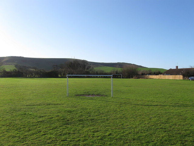
Image: © Simon Carey Taken: 2 Jan 2012
Lying to the east of Image both the buildings and the field are the northern section of an old field once known as Cottage Gardens according to West Firle's 1843 tithe map. For many years this land was allotments but is now divided into three, with both Image and Image still retaining their use as fields.
Images are licensed for reuse under creativecommons.org/licenses/by-sa/2.0
Image Location
Latitude
50.847615
Longitude
0.082635