East Brighton Park
Introduction
The photograph on this page of East Brighton Park by Paul Gillett as part of the Geograph project.
The Geograph project started in 2005 with the aim of publishing, organising and preserving representative images for every square kilometre of Great Britain, Ireland and the Isle of Man.

There are currently over 7.5m images from over 14,400 individuals and you can help contribute to the project by visiting https://www.geograph.org.uk
East Brighton Park
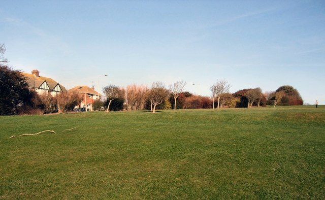
Image: © Paul Gillett Taken: 6 Jan 2012
The buildings to the left of the photos are the self builds at the southern end of Wilson's Avenue
Images are licensed for reuse under creativecommons.org/licenses/by-sa/2.0
Image Location
Latitude
50.819415
Longitude
-0.102093