Dolwyddelan
Introduction
The photograph on this page of Dolwyddelan by Andrea Hope as part of the Geograph project.
The Geograph project started in 2005 with the aim of publishing, organising and preserving representative images for every square kilometre of Great Britain, Ireland and the Isle of Man.

There are currently over 7.5m images from over 14,400 individuals and you can help contribute to the project by visiting https://www.geograph.org.uk
Dolwyddelan
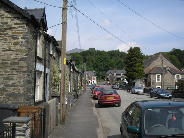
Image: © Andrea Hope Taken: 1 Jul 2006
Terraced houses on Church Street in Dolwyddelan, looking towards the main road and pub. I think that you can see the top of Moel Siabod in the distance.
Images are licensed for reuse under creativecommons.org/licenses/by-sa/2.0
Image Location


Leaflet Map data © OpenStreetMap
Latitude
53.054739
Longitude
-3.888832