Vale Royal locks - signals
Introduction
The photograph on this page of Vale Royal locks - signals by Stephen Craven as part of the Geograph project.
The Geograph project started in 2005 with the aim of publishing, organising and preserving representative images for every square kilometre of Great Britain, Ireland and the Isle of Man.

There are currently over 7.5m images from over 14,400 individuals and you can help contribute to the project by visiting https://www.geograph.org.uk
Vale Royal locks - signals
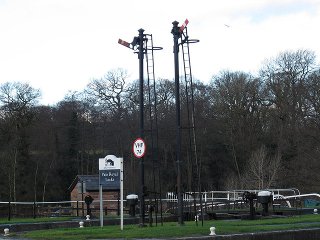
Image: © Stephen Craven Taken: 26 Dec 2011
The navigation was improved in the late 19th century. It seems that the railway signalling technology of the day was used with little adaptation.
Images are licensed for reuse under creativecommons.org/licenses/by-sa/2.0
Image Location
Latitude
53.228783
Longitude
-2.540429