Eastern end of Kendon Road, Crumlin
Introduction
The photograph on this page of Eastern end of Kendon Road, Crumlin by Jaggery as part of the Geograph project.
The Geograph project started in 2005 with the aim of publishing, organising and preserving representative images for every square kilometre of Great Britain, Ireland and the Isle of Man.

There are currently over 7.5m images from over 14,400 individuals and you can help contribute to the project by visiting https://www.geograph.org.uk
Eastern end of Kendon Road, Crumlin
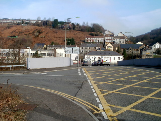
Image: © Jaggery Taken: 17 Feb 2011
The B4251, here named Kendon Road, approaches a bridge leading to the A467 junction. Turn left ahead for Brynmawr or Ebbw Vale, right for Newport or Pontypool. The nearer left turn leads to the remains of Crumlin Navigation Colliery buildings.
Images are licensed for reuse under creativecommons.org/licenses/by-sa/2.0
Image Location
Latitude
51.678829
Longitude
-3.13964