Southern edge of the Crumlin Mural
Introduction
The photograph on this page of Southern edge of the Crumlin Mural by Jaggery as part of the Geograph project.
The Geograph project started in 2005 with the aim of publishing, organising and preserving representative images for every square kilometre of Great Britain, Ireland and the Isle of Man.

There are currently over 7.5m images from over 14,400 individuals and you can help contribute to the project by visiting https://www.geograph.org.uk
Southern edge of the Crumlin Mural
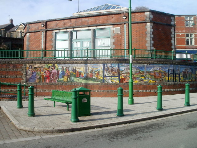
Image: © Jaggery Taken: 17 Feb 2011
The mural depicts the history of Crumlin and the Ebbw Valley. The Crumlin viaduct, demolished in the 1960s, is shown along the top of the mural.
Images are licensed for reuse under creativecommons.org/licenses/by-sa/2.0
Image Location
Latitude
51.677916
Longitude
-3.141064