Coten End, Warwick
Introduction
The photograph on this page of Coten End, Warwick by Nigel Mykura as part of the Geograph project.
The Geograph project started in 2005 with the aim of publishing, organising and preserving representative images for every square kilometre of Great Britain, Ireland and the Isle of Man.

There are currently over 7.5m images from over 14,400 individuals and you can help contribute to the project by visiting https://www.geograph.org.uk
Coten End, Warwick
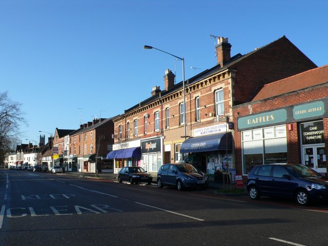
Image: © Nigel Mykura Taken: 2 Jan 2012
These red brick terraced houses are on the northern side of Coten End which is part of the A445 to Leamington Spa. In the background can be seen the church tower of St Mary's Warwick.
Images are licensed for reuse under creativecommons.org/licenses/by-sa/2.0
Image Location
Latitude
52.284548
Longitude
-1.578502