Firle County Primary School
Introduction
The photograph on this page of Firle County Primary School by Simon Carey as part of the Geograph project.
The Geograph project started in 2005 with the aim of publishing, organising and preserving representative images for every square kilometre of Great Britain, Ireland and the Isle of Man.

There are currently over 7.5m images from over 14,400 individuals and you can help contribute to the project by visiting https://www.geograph.org.uk
Firle County Primary School
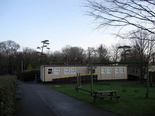
Image: © Simon Carey Taken: 2 Jan 2012
The rear view from Bostal Road. Whilst the prefab is newer, the older part of the school, out of shot to the left, dates back to 1845.
Images are licensed for reuse under creativecommons.org/licenses/by-sa/2.0
Image Location
Latitude
50.848791
Longitude
0.082262