Footpath, Comber
Introduction
The photograph on this page of Footpath, Comber by Albert Bridge as part of the Geograph project.
The Geograph project started in 2005 with the aim of publishing, organising and preserving representative images for every square kilometre of Great Britain, Ireland and the Isle of Man.

There are currently over 7.5m images from over 14,400 individuals and you can help contribute to the project by visiting https://www.geograph.org.uk
Footpath, Comber
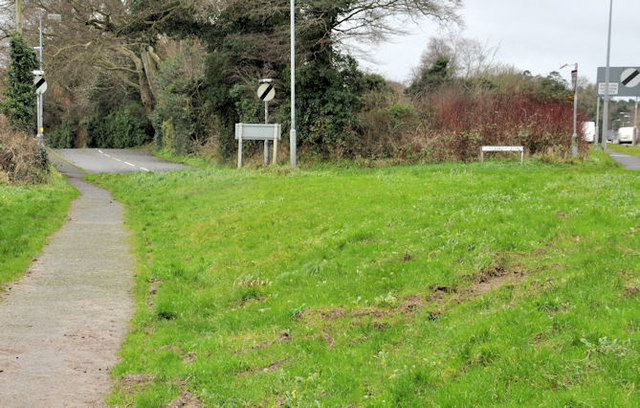
Image: © Albert Bridge Taken: 4 Jan 2012
The present Ballygowan Road Image heads off south west (top right) but the footpath follows the old alignment towards Clattering Ford Image
Images are licensed for reuse under creativecommons.org/licenses/by-sa/2.0
Image Location
Latitude
54.545213
Longitude
-5.758997