
Summit view, Black Brows (268m)
Introduction
The photograph on this page of Summit view, Black Brows (268m) by Karl and Ali as part of the Geograph project.
The Geograph project started in 2005 with the aim of publishing, organising and preserving representative images for every square kilometre of Great Britain, Ireland and the Isle of Man.

There are currently over 7.5m images from over 14,400 individuals and you can help contribute to the project by visiting https://www.geograph.org.uk
Summit view, Black Brows (268m)
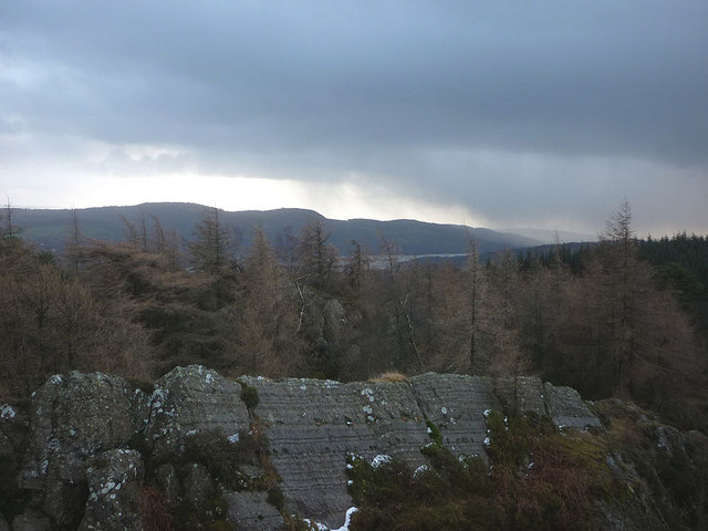
Image: © Karl and Ali Taken: 2 Jan 2012
Black Brows is a HuMP ('hundred metres prominence') so someone else must have climbed this hill before us. To reach it we followed the dry stone wall from the south through thick forest with a fair amount of climbing over wind-blown conifers. We saw no human footprints. Thankfully, the summit (the tallest of several, very narrow blades of rock) gave us a view. Seen here is a glimpse of Windermere's southern reaches overlooked by Gummer's How. More showers of sleet and rain are being blown in by the strong wind. Our descent towards the north was much wetter underfoot.
Images are licensed for reuse under creativecommons.org/licenses/by-sa/2.0
Image Location

Latitude
54.325065
Longitude
-2.981689