Henhullbridge Farm
Introduction
The photograph on this page of Henhullbridge Farm by Des Blenkinsopp as part of the Geograph project.
The Geograph project started in 2005 with the aim of publishing, organising and preserving representative images for every square kilometre of Great Britain, Ireland and the Isle of Man.

There are currently over 7.5m images from over 14,400 individuals and you can help contribute to the project by visiting https://www.geograph.org.uk
Henhullbridge Farm
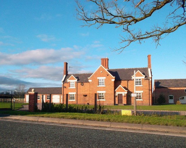
Image: © Des Blenkinsopp Taken: 22 Dec 2011
A quick snap of this brick farmhouse catching the evening light. Taken from the car window while stuck in a line for the crossroads just down the way.
Images are licensed for reuse under creativecommons.org/licenses/by-sa/2.0
Image Location
Latitude
53.08293
Longitude
-2.551588