Pulpit Lane, Oving
Introduction
The photograph on this page of Pulpit Lane, Oving by HelenK as part of the Geograph project.
The Geograph project started in 2005 with the aim of publishing, organising and preserving representative images for every square kilometre of Great Britain, Ireland and the Isle of Man.

There are currently over 7.5m images from over 14,400 individuals and you can help contribute to the project by visiting https://www.geograph.org.uk
Pulpit Lane, Oving
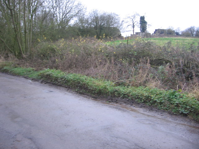
Image: © HelenK Taken: 1 Jan 2012
The buildings in the background belong to Bushy Farm. I've been unable to find out the origin of the name. Presumably there was a wayside pulpit round here.
Images are licensed for reuse under creativecommons.org/licenses/by-sa/2.0
Image Location
Latitude
51.89135
Longitude
-0.856059