Junction of Queen Street and Hillhead
Introduction
The photograph on this page of Junction of Queen Street and Hillhead by Anthony Vosper as part of the Geograph project.
The Geograph project started in 2005 with the aim of publishing, organising and preserving representative images for every square kilometre of Great Britain, Ireland and the Isle of Man.

There are currently over 7.5m images from over 14,400 individuals and you can help contribute to the project by visiting https://www.geograph.org.uk
Junction of Queen Street and Hillhead
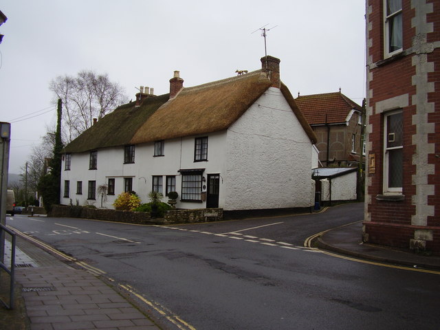
Image: © Anthony Vosper Taken: 30 Dec 2011
Note the thatcher's dolly in the form of a fox on the thatched roof and the old road sign warning for a bend.
Images are licensed for reuse under creativecommons.org/licenses/by-sa/2.0
Image Location
Latitude
50.739884
Longitude
-3.070064