The eastern section of Corbally Road
Introduction
The photograph on this page of The eastern section of Corbally Road by Eric Jones as part of the Geograph project.
The Geograph project started in 2005 with the aim of publishing, organising and preserving representative images for every square kilometre of Great Britain, Ireland and the Isle of Man.

There are currently over 7.5m images from over 14,400 individuals and you can help contribute to the project by visiting https://www.geograph.org.uk
The eastern section of Corbally Road
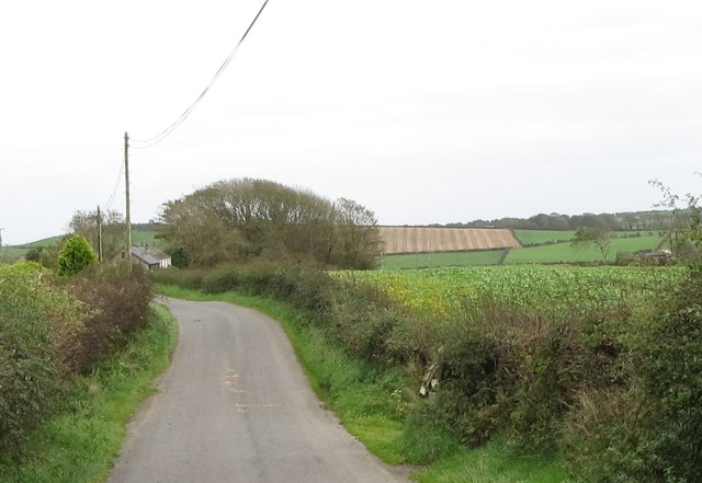
Image: © Eric Jones Taken: 4 Oct 2011
The hill in the background, with an old wind mill on its summit is Ballydargan Hill.
Images are licensed for reuse under creativecommons.org/licenses/by-sa/2.0
Image Location
Latitude
54.274003
Longitude
-5.733673