Carysfort Road
Introduction
The photograph on this page of Carysfort Road by Finlay Cox as part of the Geograph project.
The Geograph project started in 2005 with the aim of publishing, organising and preserving representative images for every square kilometre of Great Britain, Ireland and the Isle of Man.

There are currently over 7.5m images from over 14,400 individuals and you can help contribute to the project by visiting https://www.geograph.org.uk
Carysfort Road
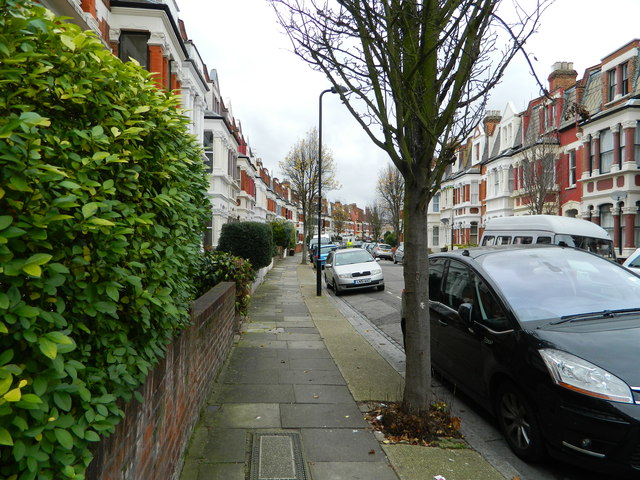
Image: © Finlay Cox Taken: 28 Dec 2011
Connects Clissold Crescent and Albion Road and mostly runs parallel to Clissold Crescent, but joining to it at each end.
Images are licensed for reuse under creativecommons.org/licenses/by-sa/2.0
Image Location
Latitude
51.557282
Longitude
-0.087217